Land Continuity & Gap Detection
Identify disconnected holdings, missing links, intervening ownership and apparent parcel gaps within the acquisition footprint.
Explore continuity verification →
Investigating the connections between your land parcels, your documents and the ground. · Land continuity
A project needs more than a collection of individually documented parcels. It needs a connected land footprint and access that can withstand scrutiny on paper and on the ground.
Land Forensics Pvt Ltd provides specialised project land verification for developers, investors and acquisition teams assembling large land holdings. We investigate land continuity, intervening parcels, boundary mismatches and pathway discrepancies by cross-checking available property documents, revenue records, cadastral references and physical site conditions. The purpose is to expose the gaps that can remain hidden when each survey number is reviewed in isolation.
Our work focuses on the relationship between the proposed acquisition and the footprint your project actually requires. We distinguish recorded ownership, apparent occupation and observed access, so decision-makers can see where the available evidence aligns, where it conflicts and what still needs verification. This is investigative support for acquisition decisions, project planning and professional review.
We bring document examination and field intelligence into one structured review, with attention to connected land blocks, internal routes, entry points and third-party interfaces.
Identify disconnected holdings, missing links, intervening ownership and apparent parcel gaps within the acquisition footprint.
Explore continuity verification →Compare the pathway described in records with its location, dimensions, connectivity and condition at the site.
Explore pathway verification →Examine land and route dependencies for solar parks, wind energy developments, factories and industrial estates.
Explore project applications →Land continuity checks identify apparent breaks between land parcels intended to form a connected project area. These may involve omitted survey subdivisions, third-party strips, public paths, watercourses or a mismatch between the acquisition schedule and the location identified at site. An apparently continuous boundary does not, by itself, establish continuity of ownership or rights.
Our review builds a parcel-by-parcel picture of the proposed block and tests its connections against the available evidence. Where a gap or overlap is suspected, we identify the affected location, the records examined and the further checks needed.
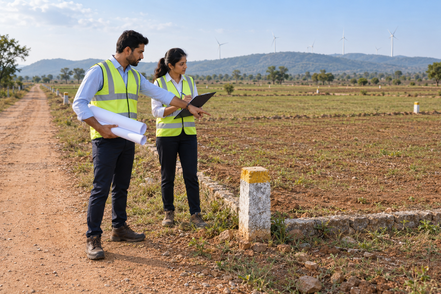

A visible track and a documented access route may tell different stories. We trace the proposed approach from the public road to the project boundary and through the relevant internal links, comparing documentary descriptions with observed conditions. This helps distinguish a recorded route from a route currently used by local occupants.
The investigation examines route alignment, apparent width, entry and exit points, obstructions and parcels crossed. Where available, we compare deeds, schedules, cadastral plans, revenue references and recorded access arrangements. The report separates observed facts from unconfirmed claims and flags matters requiring formal survey or legal confirmation.
Solar developments depend on coherent land blocks and practical links between array areas, internal roads and the proposed evacuation corridor. We examine breaks in the assembled footprint, intervening holdings and access dependencies against the supplied layout. Findings help acquisition and engineering teams identify where land arrangements need clarification before layout assumptions become commitments.
Wind projects can span separated turbine locations and multiple approach routes. We investigate the connections between proposed locations, access tracks and land schedules, highlighting third-party crossings and uncertain links. Observed route constraints can be referred to the transport and engineering team for a dedicated assessment of equipment movement, turning requirements and construction access.
For factories and industrial acquisitions, we examine the continuity of the proposed operating footprint, road frontage and entry connections. Particular attention goes to retained strips, internal paths, adjoining occupation and route dependencies that may affect access planning. Our findings support informed negotiation and further professional checks before acquisition or expansion decisions.
The engagement starts with your acquisition schedule, available documents and proposed project footprint. We define the parcels and routes to be examined, establish the available record set and plan field checks around the questions that matter to your project. Document findings are then compared with site observations, photographs and location references, with discrepancies recorded for follow-up.
Every material exception is linked to its source and location wherever the evidence permits. We distinguish verified observations, documentary inconsistencies and unresolved information gaps. This gives your acquisition, legal and engineering teams a common basis for deciding which parcels, routes or assumptions require action.
A structured schedule of examined parcels, adjoining connections, suspected gaps and documentary mismatches.
Route observations, photographs and document references showing supported links, crossings and unresolved access questions.
Prioritised findings identifying the additional records, confirmations, surveys or specialist reviews needed.
The scope and format are agreed for the project. Mapping, coordinate capture, specialist surveys and additional record retrieval can be scoped where required; conclusions remain tied to the evidence actually obtained.
Engage Land Forensics Pvt Ltd to examine whether the land you intend to assemble connects as expected—and whether the pathways your project relies on are supported by the available documents and site evidence.
Discuss a project land investigation →Explore the 63-parameter Prepurchase Report →Photographs are illustrative. Findings reflect the agreed scope, available records and site conditions at the time of investigation. Formal title opinions, access-right determinations and engineering certification remain with the relevant qualified professionals.