

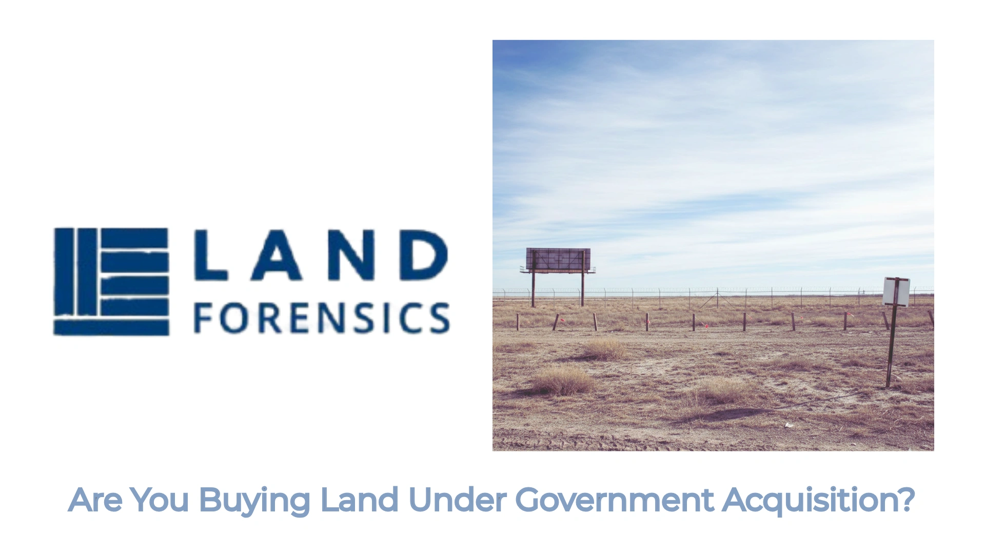
Have You Verified Physical Possession
The Property
The Property

In high-stakes real estate development and institutional land acquisition, the greatest threat is the “Regulatory Blind Spot." A property may have a clear title deed, but if the government’s internal records classify that land as restricted, unapproved, or misaligned with its physical boundaries, the investment is a liability.
Land Forensics provides an elite tier of Government Record Intelligence. We bridge the gap between what a seller claims and what the sovereign servers actually record. This page is designed for Banks, Developers, and Land Aggregators who require high-fidelity data to mitigate scaling risks and ensure absolute statutory compliance.

A standard EC printout is easily manipulated. Fraudsters often omit pages containing bank mortgages or court attachments. We perform a “Silent Audit"—generating an independent, fresh EC directly from the TNREGINET servers and cross-verifying digital signatures and serial numbers.
 The Outcome:Identification of “Period Gaps," undisclosed mortgages, and hidden court injunctions.

The Revenue Record is the ultimate proof of government recognition. We verify the Web-Issued Reference Number against the state’s live databases to ensure the name, survey number, and area exactly match the current administrative entries.
The Intelligence:Detection of pre-dated manual entries or photoshopped digital extracts.
This is the “DNA Search" of the land’s classification. We trace the property back to the original Settlement Register (A-Register) to verify its classification: Nanjai (Wetland), Punjai (Dryland), Poramboke (Government), or HR&CE (Temple).
The Intelligence:Preventing the catastrophic error of purchasing government-held or restricted communal land.

The map is not the territory until forensic measurement is applied. We audit the digital and manual FMB sketches, verifying the G-Lines (diagonal measurements) and F-Lines (boundary lines) against the Sale Deed’s schedule of property.
For plot promoters and developers, a "DTCP Approved" label is often forged. We verify the Layout Approval Number directly with the Directorate of Town and Country Planning. We ensure that the Open Space Reservation (OSR) and road areas have been legally gifted to the local body and are not being fraudulently sold.
We authenticate building permits issued by the DTCP, CMDA, or local bodies. We verify the "Approved Plan" against the physical structure to detect unauthorized deviations that could lead to demolition notices.
The conversion of agricultural land for residential or industrial use is a high-fraud zone. We verify the Collector’s Conversion Order and the Change of Land Use (CLU) protocols to ensure the land is legally eligible for its intended development.

The CC and OC are the final words on a building’s legality. We authenticate these certificates with the issuing authority to ensure the project meets all safety, fire, and engineering standards.
Unpaid property tax is a “Permanent Lien." We verify the Assessment Number and historical payment records on the Municipal/Panchayat portal to ensure the buyer is not inheriting a legacy of arrears or name-mismatch issues.
Traditional diligence stops at the deed. Land Forensics goes to the source. Our reports provide the high-level technical auditing required for institutional credit committees and high-value project approvals.
We only use live, server-verified data—never outdated photocopies.
We ensure the math of the land (FMB) matches the law of the land (Patta).
Our classification reports identify “Red Zone" risks (Military, Forest, Coastal, or Temple lands) before a single rupee is exchanged.